The Fort MacArthur Tunnels…..By Historian, Speaker and Local Resident Jim Shneer

Fort MacArthur Upper Reservation in 1937 showing the original six batteries.
The United States believed that the West Coast was still vulnerable from a Japanese invasion or attack as late as the spring of 1942. As a result, military planners discussed building a “Corregidor of the West Coast.” Corregidor is a small island at the entrance to Manila harbor in the Philippines. During the early 1930s an elaborate tunnel system was built underneath the fort there. Although Corregidor fell to the Japanese on May 6, 1942, the tunnel complex is credited with helping American forces hold the enemy off for a month or so. Corregidor's Malinta Tunnel complex was initially used as a bomb-proof storage and personnel bunker, but was later equipped as a 1,000-bed hospital. The main tunnel, running east to west, is 831 feet long, 24 feet wide and 18 feet high. Branching off from this main shaft are 13 lateral tunnels on the north side and 11 lateral tunnels on the south side. Each lateral averaged 160 feet in length and 15 feet in width.

Malinta tunnel lateral - 1942 (Wikipedia)

Malinta Tunnel 2019 (Wikipedia)
Digging a tunnel complex on the Upper Reservation of Fort MacArthur, located immediately west of lower Gaffey Street, was a one of a kind project in the continental United States. It would interconnect the 14" gun batteries Leary-Merriam and batteries Osgood-Farley on the Upper Reservation with the barracks as well as other facilities including an underground hospital, billeting, mess facility, administration and storage. Phase I would end up with a system of 4,956 feet of tunnel in 14 segments and when finished, which it never was, would have included over 50,000 square feet of underground support facilities. Phase I was roughed in by 1944, but by then the Japanese were in retreat and the tunnels were sealed. The original design called for continuous tunneling of 10’ by 10’ by 4’ segments, one after the other. The tunnel would be lined by redwood frame sets.

Fort MacArthur tunnel map
The following table describes the segments on the map above. The four segments in italics and colored gray were proposed. BLM is an abbreviation for Battery Leary-Merriam and BOF is an abbreviation for Battery Osgood-Farley.

Tunnel segments as built or proposed
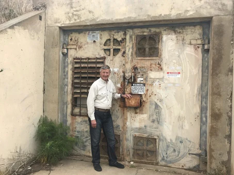
In 1982 Donald J. Young, the founder and first director of the Fort MacArthur Military Museum in San Pedro, decided to see if he could obtain access to them. He discovered evidence of one of the four portals on the drawings, the one at 32nd Street and Gaffey, located it, and went in several hundred feet.

Photographs of Don Young exploring the tunnels in the 1980s (Fort MacArthur nomination report)

In January of 2016, during the renovation of the Gaffey Street (Hey Rookie) pool in Angel's Gate Park, construction crews unearthed one of the old tunnels, probably in the E-B segment, causing a delay of several months until the stability of the site could be established. Wood and eating utensils were collected from the tunnel to add to the Fort MacArthur Museum collections.
Jim is a former aerospace engineering manager who, since retiring, has become an author and speaker on a variety of military subjects. To read more about his work, please visit https://easyreadernews.com/the-battle-that-didnt-happen/. To learn about the military history of Fort MacArthur and Palos Verdes, please visit http://www.lulu.com/shop/james-shneer/exploring-the- military-history-of-fort-macarthur-and-palos-verdes/paperback/product-23784472.html to purchase a copy of his recent book.